


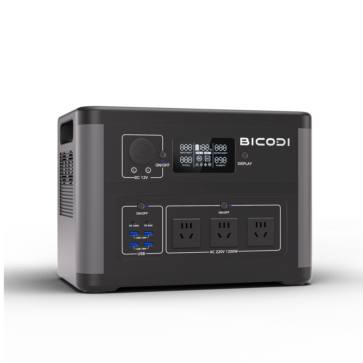


Southeast Asia has committed to increase its use of renewable energy by 23% by 2025 as energy demand rises. Geospatial technology approaches that integrate statistics, spatial models, earth observation satellite data and climate modeling can be used to conduct strategic analysis to understand the potential and effectiveness of renewable energy development. This research aims to create a first-of-its-kind spatial model in Southeast Asia for the development of multiple renewable energy sources such as solar, wind and hydropower, which are further subdivided into residential and agricultural areas. The novelty of this study lies in the development of a new priority model for the development of renewable energy by integrating the analysis of regional suitability and the assessment of potential energy volumes. Regions with high estimated energy potential for these three energy combinations are mainly located in the northern part of Southeast Asia. Areas closer to the equator, with the exception of the southern regions, have less potential than the northern countries. The construction of solar photovoltaic (PV) power plants was the most area type of energy considered, requiring 143,901,600 ha (61.71%), followed by wind power (39,618,300 ha, 16.98%), combined solar PV and wind power ( 37,302,500 ha, 16 percent). ) , hydropower (7,665,200 ha, 3.28%), combined hydropower and solar (3,792,500 ha, 1.62%), combined hydropower and wind (582,700 ha, 0.25%). This study is timely and important as it will serve as a basis for policies and regional strategies for the transition to renewable energy, taking into account the different characteristics that exist in Southeast Asia.
As part of Sustainable Development Goal 7, many countries have agreed to increase and distribute renewable energy, but by 20201, renewable energy will account for only 11% of the total global energy supply2. With global energy demand expected to grow by 50% between 2018 and 2050, strategies to increase the amount of renewable energy to meet future energy needs are more important than ever. The rapid growth of the economy and population in Southeast Asia over the past few decades has led to a sharp increase in energy demand. Unfortunately, fossil fuels account for more than half of the region’s energy supply3. Southeast Asian countries have pledged to increase their use of renewable energy by 23% by 20254. This Southeast Asian country has a lot of sunshine all year round, many islands and mountains, and a great potential for renewable energy. However, the main problem in the development of renewable energy is to find the regions most suitable for developing the infrastructure necessary for sustainable electricity production5. In addition, ensuring that electricity prices in different regions meet the appropriate level of electricity prices requires certainty in regulation, stable political and administrative coordination, careful planning, and well-defined land limits. Strategic renewable energy sources developed in the region in recent decades include solar, wind and hydropower. These sources hold great promise for large-scale development to meet the region’s renewable energy goals4 and provide energy to regions that do not yet have access to electricity6. Due to the potential and limitations of sustainable energy infrastructure development in Southeast Asia, a strategy is needed to identify the best locations for sustainable energy development in the region, which this study aims to contribute to.
Remote sensing combined with spatial analysis is widely used to support decision making in determining the optimal location of renewable energy infrastructure7,8,9. For example, to determine the optimal solar area, Lopez et al.10 used MODIS remote sensing products to simulate solar radiation. Letu et al.11 estimated solar surface radiation, clouds and aerosols from Himawari-8 satellite measurements. In addition, Principe and Takeuchi12 assessed the potential for solar photovoltaic (PV) energy in the Asia-Pacific region based on meteorological factors. After using remote sensing to determine areas of solar potential, the area with the highest optimum value for building solar infrastructure can be selected. In addition, spatial analysis was performed according to a multi-criteria approach related to the location of solar PV systems13,14,15. For wind farms, Blankenhorn and Resch16 estimated the location of potential wind power in Germany based on parameters such as wind speed, vegetation cover, slope, and location of protected areas. Sah and Wijayatunga17 modeled potential areas in Bali, Indonesia by integrating MODIS wind speed.
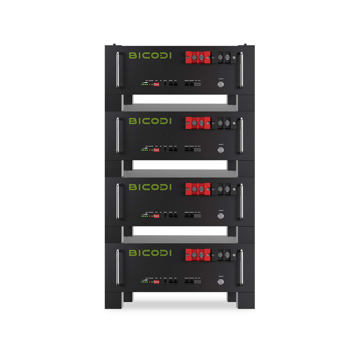
Post time: Jul-14-2023


